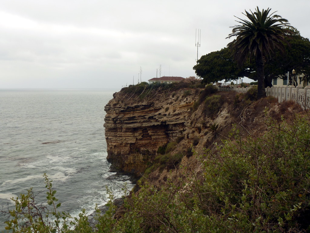
It's gloomy. The sky and sea are almost the same shade of gray. Looking along a steep cliffside toward a rock outcropping. It's high, maybe ten times as high as the low building perched on top of it, and grooves show dozens of layers stacked from the sea below to a bit below the top.

The Palos Verdes peninsula sits at the southwest corner of Los Angeles. Parts of it are built up in old, grid-style suburbs. Other parts are of the more modern, winding type. And still other parts remain open space, due in part to the unstable geology of the area. Parts of Portuguese Bend are sliding toward the ocean, requiring frequent repairs of the main road along the coast. Way back in 1929, a housing development began sliding into the ocean. Abandoned now, the area remaining above land is known as the sunken city.

Adjacent to those ruins is Point Fermin Park, an ordinary city park that sits atop the cliffs. The Point Fermin Lighthouse (previously featured here) looks over the sea, and a fenced walkway runs along the length of the cliffs.

Looking out here, you can see the layers of rock, and understand how parts of the point could just slide away. The warning signs on the fence don’t surprise me, but I have to wonder just who would want to climb out there.

Photo challenge (WordPress): Layers
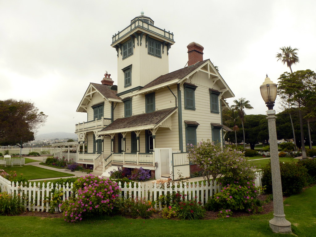
It's a cloudy day. Behind a white picket fence and green lawn, there's a whitewashed, gabled housel Most of it is two stories, but a square tower in the middle rises two more levels, and the tower is topped with a railing above which which you can just glimpse the top of a glass structure.

Point Fermin Lighthouse in San Pedro, California, at the southern tip of Los Angeles.

The Victorian lighthouse is surrounded by a city park, and the park is lined with a walkway along the top of the cliffs by the sea. Off to one end is the infamous sunken city, a suburban development that was abandoned when the land started sliding into the ocean. I took a whole slew of photos as I walked along the clifftop, and you can see the seven best on Flickr.

This is one of three lighthouses in the area that I considered driving to over the weekend for Instagram’s weekend hashtag project (theme: lighthouses), figuring it had the best chance of clear weather. No such luck. (Update: I have since been to Point Vicente many times, but I can’t remember what the third one was. Maybe the one in Long Beach by the aquarium?)

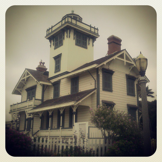
Strangely, the phone picture I chose for the project turned out to be more striking than the better shot taken with my camera. I was trying to keep the lamppost separate from the house, but it turned out I shouldn’t have.

I’m always surprised when that happens, even though it’s not that uncommon an occurrence.

The same house, but this time it's sepia-toned and fading darker toward the corners. It fills a a square frame with a border that makes it look like the holder in a really old photo album. And the angle is just different enough to make it look fuller, or bulging, or perhaps even looming above the viewer.

Photo Challenge (Instagram): Lighthouse

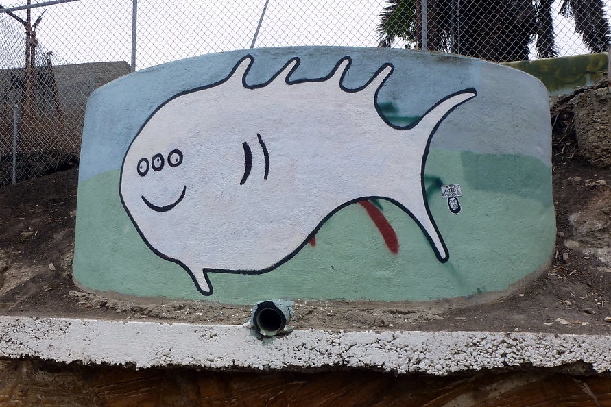
On the side of the road between Angel's Gate Park and Point Fermin Park. A little ways downhill there was a one-eyed octopus.

A cartoon-looking fish on the side of a round concrete structure. The fish has a smiling mouth and three eyes.

On the side of the road between Angel’s Gate Park and Point Fermin Park. A little ways downhill there was a one-eyed octopus.

Originally posted to Instagram with a slightly different photo taken on my phone, filtered to disguise the fact that the phone camera just wasn’t very good.