The full moon hung low in the east, rising pale yellow against a shadowed sky. A cluster of lights floated next to it, airplanes lining up for approach to the runway I was driving past. I’d glanced over just as I passed under their flight path.

Above the moon and the lights, a band of pink crossed the sky. Above that, it shaded into blue.

To the west, past a chain link fence, past the tracks being laid down for a rail extension, past the expanse of the runway itself, the sky was orange. Bright yellow clouds, the only clouds in the sky, shone with light from the sun that hadn’t quite set for them yet.

I drove on.

Last weekend I returned to the Madrona Marsh Preserve to see what our late summer/autumn heat wave had done to the place. The fields of sunflowers I saw in August have gone to seed and dried up, and the pools have continued to retreat. I managed to get a third shot in the same grove as before, where trees grew out of a pool in spring, towered over low ground cover in summer, and now stand alone, waiting for winter rains to flood the grounds again.

The image above is a combination of spring, summer and fall (specifically May, August, and October) views at the same spot.

The higher parts of the preserve are covered with dry scrub, though volunteers have cleared a lot of it out. The broken tree limb I had to walk around in August has been cleared away as well. Deep into the wooded area we did find mud flats teeming with reeds, smaller plants, dragonflies, songbirds and insects. I don’t know if any standing water remains, since we turned back at that point. (Kids have boundless energy, but limited stamina.)

Over on Flickr I have about a dozen photos of the hike, showing the preserve’s current range from dry scrub to muddy grass.

Close-up: looking between bars of a metal fence. 2 bars are locked together with a combination lock. Behind the gate we can see a blurry path uphill and scraggly bushes, with another fence at the top of the path.

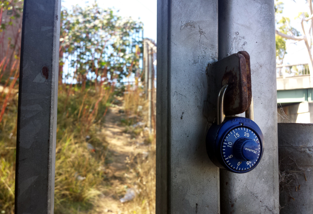
Behind this gate, a path leads up a narrow access way to a railroad bridge.  Clearly people do get in there from time to time based on the trash – or maybe they just throw it over the fence from the sidewalk. Once I saw two people up on the bridge doing a photo shoot. They probably didn’t get there through here — a block south, there’s an at-grade crossing without any gates, and anyone could easily walk along next to the tracks as long as they keep alert for trains.

It got me thinking about how some boundaries are there to block access, and some are there purely for organizational purposes — consider the property line between two neighbors, defining responsibility for upkeep on each side — and while some of the obstacles we put up are intended to keep people out, sometimes they’re only meant to slow people down or send them down another path.

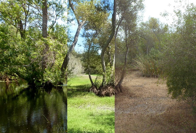
And then there are the boundaries like the tracks themselves: Structures that aren’t intended to separate regions, but nonetheless just by existing define a near and a far side. Railroads, highways, even natural features like rivers and mountains split communities, climate zones, ecosystems, and nations.

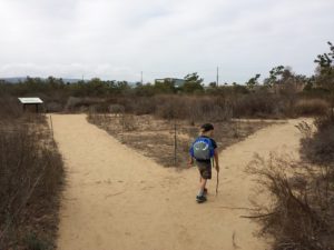
But people are also good at getting past obstacles. We build bridges and tunnels. We find places to ford streams. We find mountain passes, and blast them out to make them easier to cross.

And sometimes? We just go around.

Photo challenge (WordPress): Boundaries