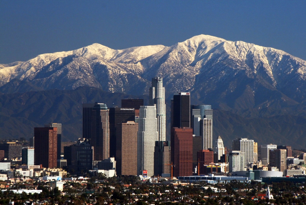
As long as I’m debunking myths about Southern California, check out this picture of the Los Angeles skyline:
Granted, I doubt it looks like this very often (the mountains only get snow in winter, and you can only see them like this on a clear day). Source: public domain photo on Wikipedia.
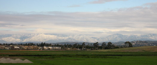
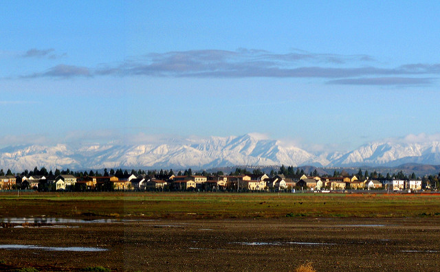
Update January 2008: I see this post is getting a lot of attention with the recent snowstorms. I’ve posted a panorama photo of almost the entire mountain range covered in snow.
Update January 2016: Apparently the photo I originally had here was deleted from Wikipedia years ago because it wasn’t actually in the public domain. I’ve removed it and replaced it with a photo by Nserrano from the Wikimedia Commons, licensed under CC-BY_SA 3.0. It’s not quite the same view, but it’s just as impressive.
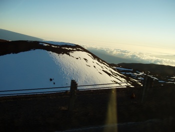
Update February 2019: We’re having another winter with lots of storms. I’ve posted some of my photos of the mountains from this month.


These San Gabriel Mountains can be seen usually every day as far as south Orange County. The snow is common in Winter and our grat city is SPECTACULAR. What is seen here is a climate that is mediteranean (dry-summer Subtropical , USDA Zone 11 only in coastal So Cal and Hawaii below 2000′) where Mango, Papaya, Macadamia, Royal Palms, Passion fruit, Bird of paradise (the city flower) can grow like weeds, To a climate that is sub-alpine within 40 miles with traces of tundra atop 10,500′ Mt San Jacinto (Baldy).
The world turns to SoCal for the most inovative Anti-pollution tchnology. In the last 25 years smog and other forms of pollution have been reducd by 50%! And this is with an addition in that priod of Several MILLION CARS! An astonising accomplishment by any means. Sure alot more need to be done, but were starting to see the rainbow.
Thank you.
Where did you go to take this?
It’s not my photo, but one I found on Wikipedia marked public domain. The link’s dead now, and there’s a remark that “uploader didn’t fully understand WP copyright” — so maybe it wasn’t public domain after all(!)
Judging by the view of the freeway and convention center, I’m thinking it has to have been a helicopter view. I thought maybe Kenneth Hahn Park with a telephoto lens, but after looking up one of my own shots of downtown LA and mountains from that area (no snow, though), it’s too far away to see anything on the ground. I bet the view from Hahn Park today is great.
Thank you! I did some more research after posting this comment and it looks like a lot of shots are coming from Kenneth Hahn or Baldwin Scenic Overlook. I will try those spots this week!
Incidentally, I am an attorney and I once appeared in front of Kenneth Hahn when he was on the bench a few years ago. He was a nice guy.
You’re welcome!
I looked up Baldwin Scenic Overlook and it looks like a great spot, especially with the eastern part of the range behind the skyline. I can’t see them from here, so I don’t know if they’re hidden in clouds or not, but I know they usually get more snow than the western part of the range.
Nice to hear that about Kenneth Hahn!
I can’t find a valid source for the original shot, so I’ve replaced it with another one that’s still awesome *and* is Creative Commons licensed. The new one looks like it may have been taken from the southeast end of Kenneth Hahn Park or a nearby hill. The buildings look very close to the way they do in this photo from Hahn Park.
I seem to have taken this Dec. 2016 photo from almost exactly the same spot (it seems it was, indeed, Kenneth Hahn park) as the new Wikipedia Commons photo. It’s a cloudier day, but the mountains are partially visible and covered with snow (which is why I was out there). It’s interesting to see just how many buildings have been added to Downtown LA over the last decade!