It's gloomy. The sky and sea are almost the same shade of gray. Looking along a steep cliffside toward a rock outcropping. It's high, maybe ten times as high as the low building perched on top of it, and grooves show dozens of layers stacked from the sea below to a bit below the top.

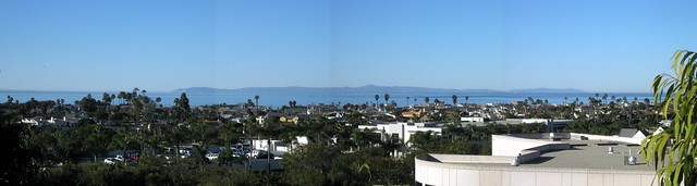
The Palos Verdes peninsula sits at the southwest corner of Los Angeles. Parts of it are built up in old, grid-style suburbs. Other parts are of the more modern, winding type. And still other parts remain open space, due in part to the unstable geology of the area. Parts of Portuguese Bend are sliding toward the ocean, requiring frequent repairs of the main road along the coast. Way back in 1929, a housing development began sliding into the ocean. Abandoned now, the area remaining above land is known as the sunken city.

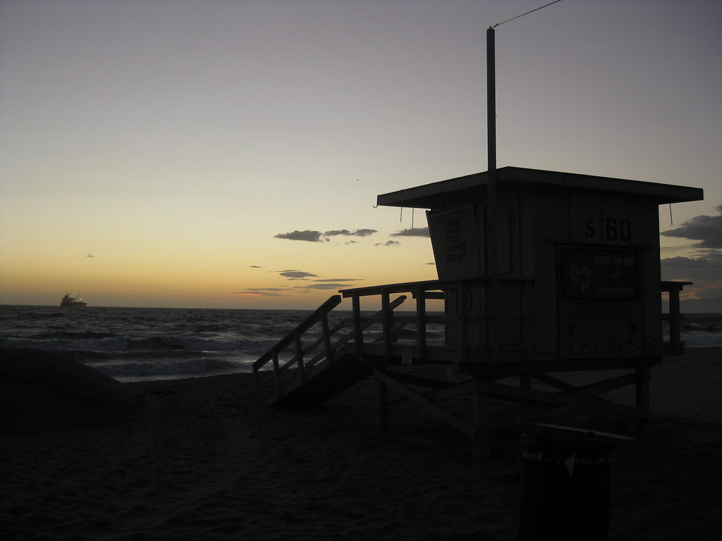
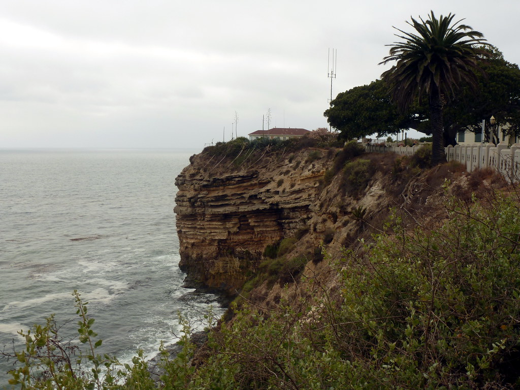
Adjacent to those ruins is Point Fermin Park, an ordinary city park that sits atop the cliffs. The Point Fermin Lighthouse (previously featured here) looks over the sea, and a fenced walkway runs along the length of the cliffs.

Looking out here, you can see the layers of rock, and understand how parts of the point could just slide away. The warning signs on the fence don’t surprise me, but I have to wonder just who would want to climb out there.

Photo challenge (WordPress): Layers

It’s been six months since we moved, but I’ve only recently started really exploring the area. I think I just got caught up in too much other stuff for a while.

One day a few weeks ago, I tried to make it to the nearest beach I could in time for sunset. I missed…but while on the mostly-deserted beach I caught some nice views of pink underlit clouds over the Santa Monica Mountains, and this view of a closed lifeguard tower at El Segundo Beach.

Then there was the clear afternoon when I went exploring the Palos Verdes area, looking for public parks where I could see the LA basin. Not much luck on that count, but as sunset approached, I decided to see if I could make it up to Del Cerro Park (more photos from this spot taken during daylight) up at the top of the bluffs. I did, and because the park is actually higher than the next hill over, I got to watch the sun set over the ocean and behind a hill at the same time.

I stayed up there for a good 20 minutes after sunset, watching the sky darken through twilight. It was incredibly windy that evening, and even from a thousand feet up with no direct sunlight, I could still watch the waves between the mainland and Catalina Island, moving slowly through the strait like tiny ripples in the direction of the wind.

Saturday night we went out to the Redondo Beach pier just in time to watch the sun set over the Pacific Ocean. One thing that I found a bit odd was that it appeared to be setting behind a line of distant mountains. While the coast does curve westward at Santa Monica, I was pretty sure that due west of us was nothing but sea, though I figured it could have been the Channel Islands, or a very sharply-defined cloud bank.

So I did what any geek would do: looked up the angle at which the sun had set that evening.

I found two tools: The NOAA solar position calculator let me figure out, given latitude, longitude and time, the sun’s declination. Then I found another tool that let me enter the latitude, longitude, and compass bearing and see a line drawn on a map.

It turned out that the sun was setting roughly 21° north of due west, putting it roughly in line with the coast from Malibu toward Ventura…on the seaward side. The line finally connected with land out toward Point Conception, roughly 120 miles away. That’s probably too far away to be visible from near sea level, depending on how high the mountains are out there, but if the angle was off just a little bit (I did estimate the time), it could easily have be the Santa Monica mountains above Malibu (more like 20 miles).

So yes, I did watch the sun set over the ocean and over land at the same time!

The south end of Santa Catalina Island as viewed from Newport Beach this morning around 9am. The winds have cleared out a lot of the haze that would normally obscure the island, and I had a great view of its entire length.

Interestingly, while the sky seemed clearer at 8am than at 9am, by which time a thin layer of gray haze clung to the horizon, the photos taken at 9 are sharper. It’s almost as if the dust settled during that hour, clearing above the layer and obscuring below it.

There was also a definite mirage caused by that same layer. You can tell the lower 1/3 of the island is distorted.