On Thursday I took the day off from work and we went to the Orange County Fair. It was a particularly bizarre visit because Costa Mesa was beneath the smoke plume from the Holy Fire (so named because it started in Holy Jim Canyon) burning in the Santa Ana mountains.

The sky, except for clear blue patches to the west and south, was a yellowish brown. The sunlight was dim and yellow.

[Looking up at a log ride against clouds of brownish smoke.]

When we arrived, the entire ticket sales system was down. All the booths. All the self-serve kiosks. You couldn’t buy tickets for any of the rides, unless you could find one of the wandering cash-only ticket sellers, roaming the fair like quest-giver NPCs.

[Looking up at a Ferris Wheel against clouds of yellowish-brown smoke.]

We did eventually find someone who could sell us tickets. At that point, the sun emerged briefly through a break in the smoke. The deep red-orange disc was dim enough to look at comfortably, and lit up the fissures in the cloud a lurid red.

[Crowds at the fair, and rides, with smoke above and some blue sky in the distance.]

Fair food keeps getting more and more outrageous. Deep fried Twinkie dogs and Zucchini Weenies have been joined by triple-decker donut burgers, chicken-in-a-waffle-on-a-stick, and the donut chicken and ice cream sandwich. But for sheer “because we can” ridiculousness: deep-fried filet mignon. What a waste.

[Food stand selling fried...everything.]

It was early evening by the time we left, and as we walked to the gate closest to where we’d parked, we saw a bright orange line in the distance. Was it the glow of the flames behind the mountain? Or the flames themselves on top of the ridge? We were too far away to tell. But that line shimmered, and we watched a deeper orange glow appear and fade behind another part of the ridge. It’s hard to be sure, but I think it might be burning in the valley between the two peaks of Saddleback.

[Night view: Mostly black, with an orange line silhouetting the edge of a mountain.]

image

I was expecting to see more snow on the San Gabriel mountains after yesterday’s storm, but was kind of disappointed…until it became clear that the bulk of the snow was on another mountain range. Saddleback was bright white, visible shining as far away as Carson as we made our way toward Orange County. Snow not only reached further down the slopes than usual, but even the mountains to the south were dusted with white, which has never happened in my memory. (If I have my bearings right, they’re just west of Lake Elsinore.)

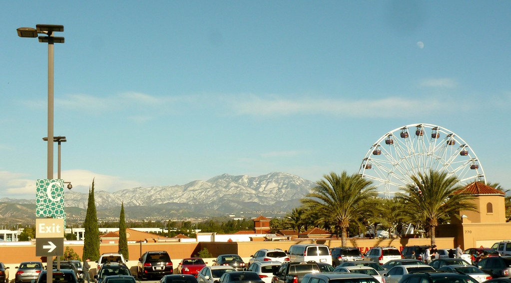
Since we were going to the Irvine Spectrum on our way to our evening plans, I figured I’d try to match some scenic views from years past before we headed into the mall to take the kiddo to the ice skating rink and Ferris Wheel.

Mt Saddleback covered with snow. A Ferris Wheel and parking lot with cars in the foreground.

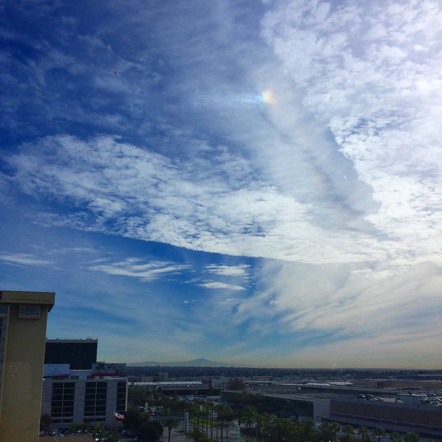
Seen from near LAX through an office window. The Santa Ana winds have cleared away the smog, making the view unusually clear (until the dust takes its place).

The sundog near the top of the frame was definitely in the sky and not on the window, and was visible no matter where I moved — I actually had to adjust the angle to avoid a reflection on the window that would have drowned it out! Timing is everything, though: I went to grab a cup of coffee from the break room right after this, and it was already gone when I got back.

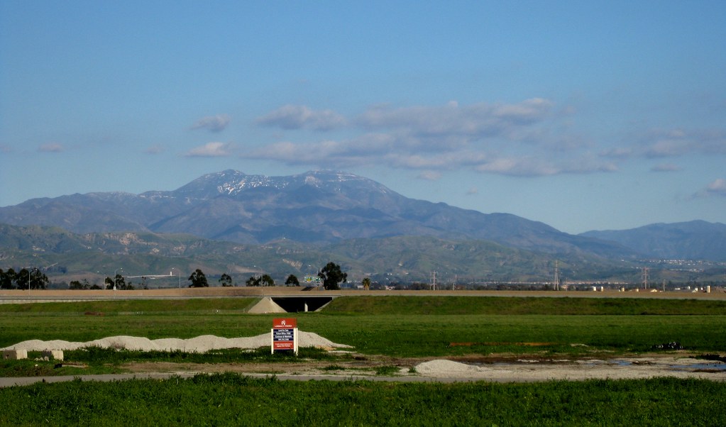
The rain on Friday dropped the annual light dusting of snow on Saddleback. I caught glimpses of it while out walking with J on Saturday, but the peaks were still shrouded in clouds. Sunday, however, the sky was almost completely clear.

I kind of wish that sign wasn’t in the middle there, but my Photoshop (well, Gimp) skills aren’t quite up to it. Maybe I’ll give it a shot with context-aware fill at some point.

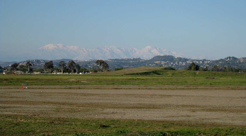
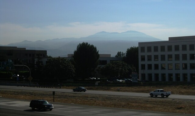
It was awfully hazy toward the north, though, and you can see the San Gabriels are fading into the haze toward the left of the frame.

These were taken at the same spot as the loooong snowy panorama from January 2008, the Misty Mountains from December of the same year, and the cloud window panorama from January 2010. (I should really just come up with something to tag all the photos I’ve taken there.)

A couple of weeks ago I just had to get out of the house for an afternoon and found myself at the entrance to Peters Canyon Park. The last time I’d been there, the park was closed due to recent rains. This time, it was open.

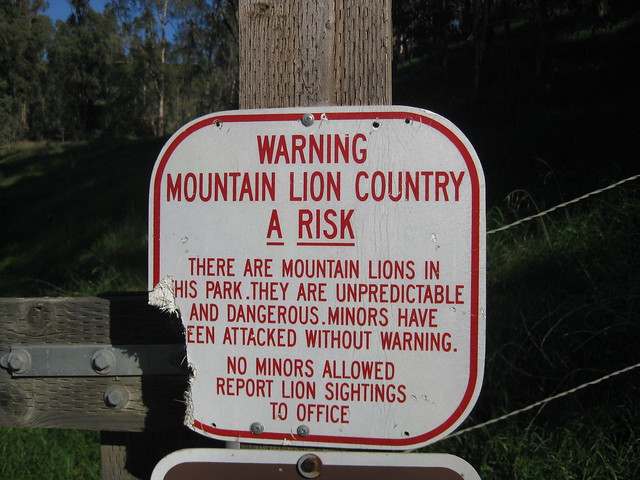
Several trails run from the entrance around the edge of the park, and one goes inward to an area that’s currently closed off. Because…well…take a look:

Damaged sign: Warning - Mountain Lion Country

I couldn’t help but take a picture. It went so perfectly with this sign I found in Hawaii near the active lava flows: Continue reading

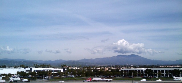
I’m going to have to start taking my regular camera with me to lunch. Yesterday I looked out and saw a huge, puffy cloud, virtually alone (beneath a thin layer of wispy cirrus), hovering above Saddleback.

When I stopped to take a picture, I realized that there was a whole line of little puffball clouds, tracking the mountain range exactly, but not appearing anywhere else in the sky. It really shows the effect that mountains have on cloud formation!

I decided to try for a four-shot panorama of the whole range.

It came out better than I expected, actually. I believe this is the first time I’ve stitched together a panorama using phone pictures. I used Hugin, which was a little hampered by the fact that I couldn’t find specs on the G1 lens type, focal length, etc., but it seems to have done reasonably well.