Saddleback Snow – Spectrum Wheel Two Days Later.

I’ve added a few more pictures to my Snowline photoset showing the unusual amount of snow in the local Santa Ana Mountains.

There’s a few more from Thursday, plus a couple of pictures I grabbed Friday morning, like the one shown above.

Update: Here’s one more, from a batch of photos I took at lunch today. More at Flickr…

Last January when I caught a view of the entire range of the San Gabriel Mountains absolutely covered in snow, I figured it was a once-in-a-lifetime sight. Sure, they get snow every year, but they usually don’t get that much snow.

Amazingly, I got to see something similar again today. In a way, even better, because this time the sky was clear, providing better light and an unimpeded view.

After yesterday’s rain and a prediction of more showers today, I was surprised to see empty blue sky this morning. While driving over a bridge I looked out the window and saw the mountains just coated with snow. As soon as I dropped Katie off at her office, I made a beeline for that spot near The District in Tustin that (for now) offers an unimpeded view of the mountains that dominate the skyline (on clear days) of Los Angeles County.

By then a few clouds had begun to swirl around in the distance.

I couldn’t tell at the time whether Saddleback had any snow or not, since it was still backlit (this was around 8:20 or so in the morning), so I didn’t take any pictures of it.

Here’s a panorama of the mountain range. Click on the image below to see the full thing.

We went to San Diego this weekend for a company event. The drive down on Saturday was quite nice — much faster than any of the times we’ve driven down for Comic-Con, for instance. It took us only an hour and 20 minutes to get to Old Town San Diego, and that was with taking the wrong exit and driving two miles inland just to be able to cross the river.

Old Town San Diego wagon and rockWe had lunch at El Fandango in Old Town, then wandered around the shops for a bit. By now we’ve seen most of the exhibits and museums. But the San Diego House of Coffee and Tea is a must-visit stop, if for no other reason than to pick up some Highlander Grog. We also grabbed some hot coffee to walk around with, since it was gloomy with occasional drizzling. (I later noticed a sign in the Gaslamp area that said “Umbrellas $9.95. When Raining, $19.95.)

Cut-out CactusThey had set up period tents and wagons around the grounds, mostly in the courtyard with the flagpole made from the ship’s mast. One of the shops we visited was the mineral & gemstone store, which I’ve always liked visiting even back when I was a kid. And right up front, they had the hugest trilobite fossil I’d ever seen, around a foot long.

After a few hours, we drove into downtown San Diego and checked into the Omni Hotel. I’d never stayed there before, but it’s highly sought-after among attendees at Comic-Con because it’s right across the street from the convention center. Our room had a view of the end of the convention center, which will shed a little light on the size of the crowds. Continue reading

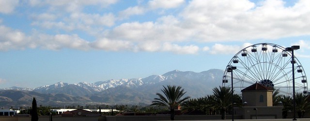
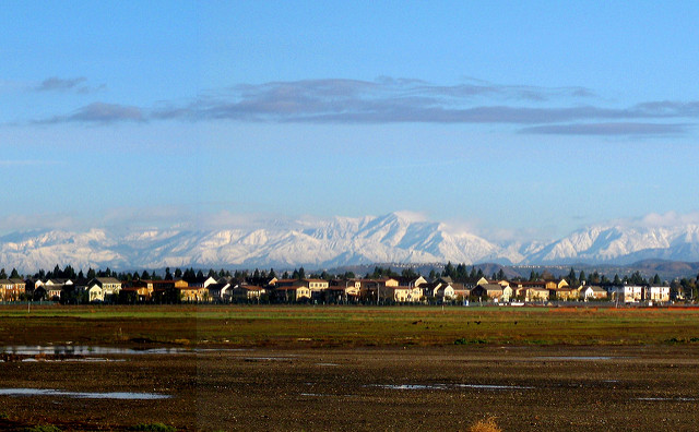
It’s an amazingly clear day morning today. So clear that I suspect I saw part of the outline of Catalina Island off in the distance, between trees and buildings, on the drive to work. So clear that I decided to drive up to the park at Quail Hill in Irvine where I once spotted what I think thought was Downtown Los Angeles at a distance of ~40 miles (same as the “contrast” shot in last year’s Spring Haze post). And this time, I had a better camera.

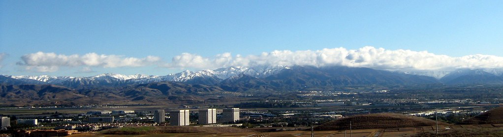
First, here’s the view from the camera, at 3x optical zoom, to give you some context.  This is looking northwest from the park.  (It occurs to me I could probably have checked the direction with my phone’s GPS info.)

Quail Hill northern view

Everything’s flattened out near the horizon.  Near the right you can see the MCAS Tustin blimp hangars, with Santa Ana beyond them. The area I’m looking at is too small to see at web size, on the left side right near where the hill cuts in front of the horizon.

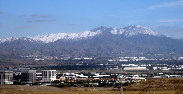
Here it is zoomed in and enhanced.

Downtown Los Angeles?

I gave it a shot with the digital zoom out to 12x, but it was way too fuzzy.  It worked out better just to crop the file and look at its native resolution.  Someday I’ll save up and get a nifty digital SLR that will save raw images instead of JPEGs, and let me swap out lenses for serious telephoto work, but for now, this is what I’ve got.

Actually, looking at the picture, I’m no longer convinced that it’s actually downtown Los Angeles.  What I can see doesn’t look clustered enough, and the buildings look shorter than I’d expect.  But I can’t think what else has a bunch of buildings tall enough to see at that distance and in that direction.

It could be that only the tops of the building are visible, in which case that black rectangle bordered in white, roughly in line with the top of the light pole, could be the top section of the Aon Center, the second-tallest building in the city and the one that’s mostly black with white corners and white around the top. But in that case the US Bank Tower (the tall round one) must be completely faded into the haze.

Or it could be Century City, which is a few miles to the west of Downtown LA, and has a couple of similar buildings (black with white outlines).  If that’s the case, though, downtown should be somewhere to the right and taller, and I just don’t see it.  And Century City would be closer to 45 miles, rather than 40.  Maybe the smog’s just thicker around downtown? Edit: This does seem more likely (see comments).

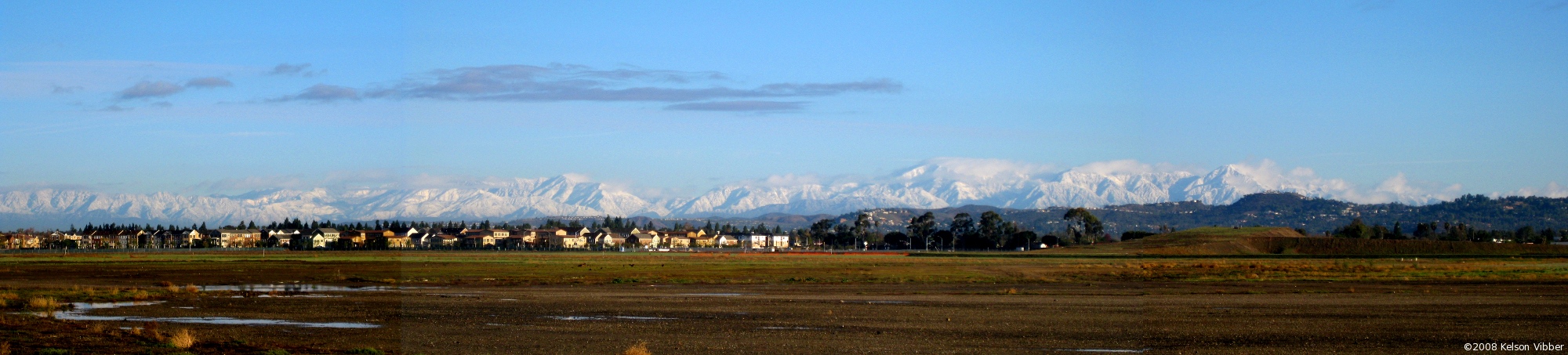
Anyway, I took some more pictures to make a panorama, which I’ll stitch together at home when I have a chance and see if it’s worth posting.