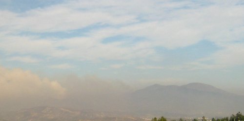
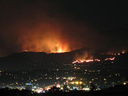
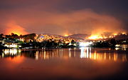
The change in the weather has brought in clouds today (Saturday), and even the occasional sprinkle of rain. It apparently helped slow the Santiago Fire considerably.
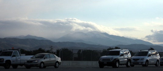
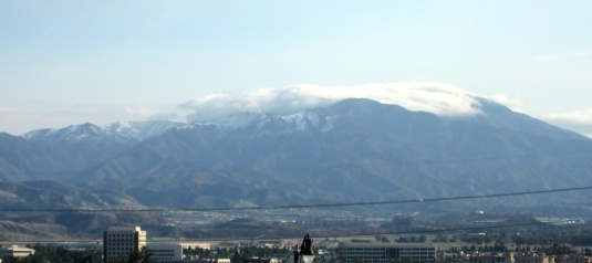
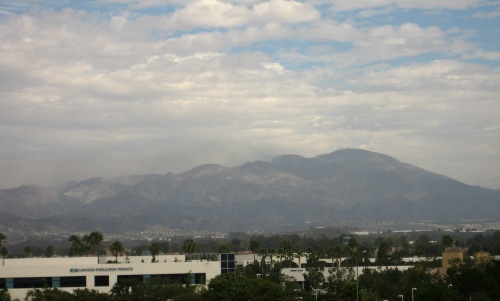
I went into work this morning to deal with some network problems (you may have noticed that this site was down for a while), then went over to the Spectrum to grab lunch and take a look at Leopard. (Incidentally, my plan seems to have failed: Amazon shipped the box yesterday, so I’ll have it in just a few days. And I’ll really want to put it on the PowerBook.) I went up to the top of the parking structure to take a look at what was visible.
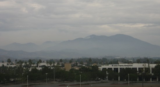
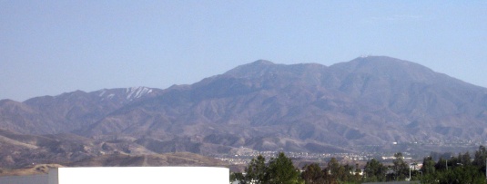
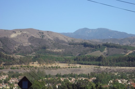
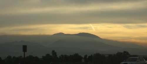
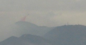
There’s considerably less smoke than yesterday, and you can see the beginnings of a layer of haze below the hills. The cloud of smoke peeking out from behind the lower peak just in front of Saddleback stayed there, without getting visibly larger or smaller.
The air’s been relatively clear, except for the fertilizer smell when I walked out of the office. People were out shopping and sitting at outdoor tables. I saw one woman walk by with a face mask, but everyone else seemed to be taking things as normally as possible.
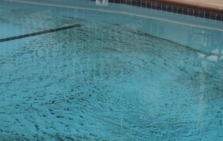
The apartment complex cleaned out the pool, which a few days ago had intricate patterns of ash lining the bottom.
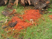 They also finally cleared away the remnants of the tree that collapsed on Sunday. They chopped it up into smaller pieces, and moved it off the sidewalk, but left the stacks of logs, branches, the stump and piles of sawdust sitting on the lawn for the rest of the week. After a day or so, the sawdust turned almost bright orange. My best guess is that they ran the sprinklers.
Of the two co-workers who live out in Silverado, one cleared out on Tuesday, while the other stayed to help out with, well whatever he could. Putting out spot fires, rescuing animals, scouting. His wife has been sending out email updates whenever he manages to contact her. I ran into the one who evacuated at the office today (he frequently comes in on weekends). At the time, the prognosis didn’t look good, but now it sounds like the canyon homes were spared for another day.
It still wasn’t encouraging when, walking to the Corner Bakery at the Tustin Marketplace tonight, Katie and I were again able to see a red glow in the mountains. We went looking for a spot where I could both steady the camera and see the glow, and finally set it up on one of those waist-height light poles lining the entryways to the parking lot.
The glow brightened and dimmed several times while we paused.
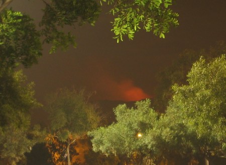
This is a 10-second exposure taken around 8:50 PM. You can see how well-lit the parking lot is by looking at the trees. I suspect the Marketplace is the primary reason we can’t see as many stars from home as I’d like.


 They also finally cleared away the remnants of the tree that collapsed on Sunday. They chopped it up into smaller pieces, and moved it off the sidewalk, but left the stacks of logs, branches, the stump and piles of sawdust sitting on the lawn for the rest of the week. After a day or so, the sawdust turned almost bright orange. My best guess is that they ran the sprinklers.
