From @ThisIsTrue:
AMAZING false-color NASA satellite pic of the damage caused by LA’s Station Fire.
Yes. Yes it is. (Full size on the linked article.)
From @ThisIsTrue:
AMAZING false-color NASA satellite pic of the damage caused by LA’s Station Fire.
Yes. Yes it is. (Full size on the linked article.)
The wind’s changed, the weather’s cooled off, and firefighters are starting to get the Station Fire under control. For the first time in days, we’ve been able to see the San Gabriel Mountains.
The eastern part of the range was clearly visible this afternoon — more visible than it usually is during the summer, with LA’s famous smog. The middle was completely shrouded in smoke. Interestingly, while it looks like the plume is being blown east, visibility seems to be worse toward the western end. Maybe wind near the ground is blowing west, and wind higher up is blowing east?
Compare to this shot of the mountains covered in snow last December:
LA fire pix at Flickr. An impressive round-up.
I keep putting off washing my car, then finally getting to it right before a freak storm…or the arrival of a giant cloud of ash. *grumble*
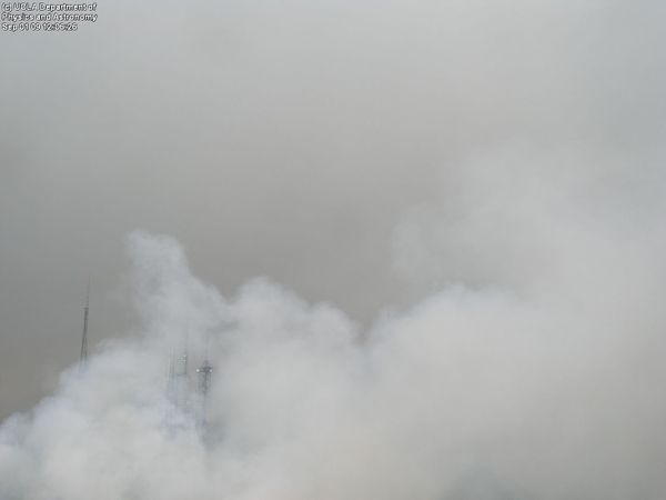
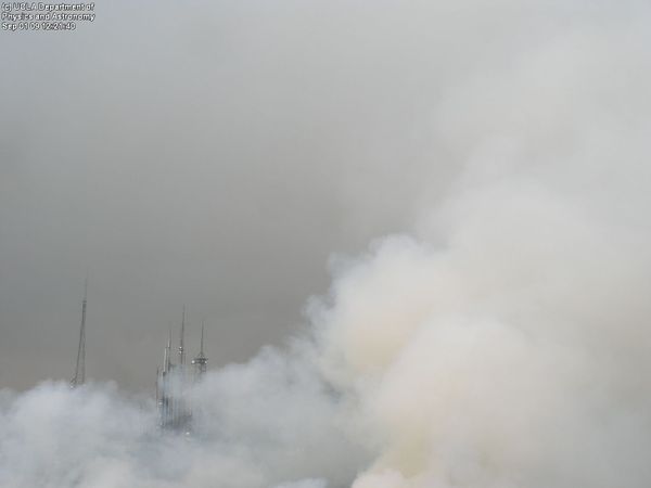
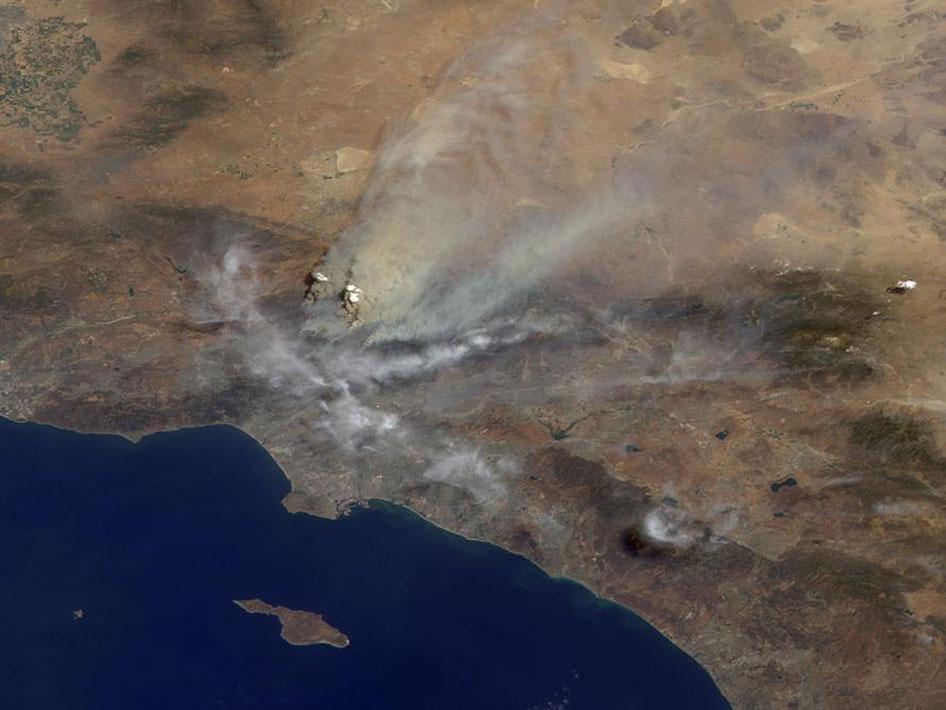
Images from the Mt. Wilson Observatory Towercam & NASA. You can probably figure out which is which.
A complex display of crepuscular rays lighting up a haze of smoke drifting in from the Station Fire.
This next shot, taken from a 4th story window, isn’t framed as well, but shows off the complexity better.
 The Station Fire burning through the Angeles National Forest north of Los Angeles is expected to reach the summit of Mt. Wilson sometime tonight. In all likelihood it will damage or destroy the communications towers and the observatory complex. The Mount Wilson Observatory is an active observatory, and is also of historical importance because of discoveries made there over its 105-year history. In particular: Edwin Hubble’s* observations with the 100-inch Hooker telescope (shown at right) indicated that universe is much larger than was previously thought, and that it was expanding — observations that revolutionized astronomy and led to the current Big Bang theory.
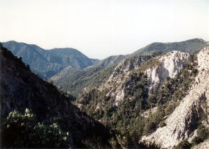
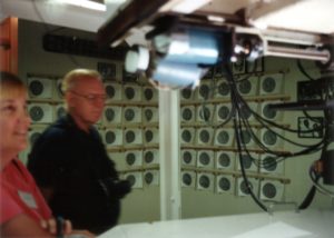 I’ve been to the observatory once, on a tour my family took on August 8, 1992. We’d just come back from a trip to Florida where we visited Disney World and Cape Canaveral during the summer I was 16. I really wish I could remember more about the trip…but I took pictures and labeled them (though not in much detail). With the observatory threatened, I thought I’d dig them out and scan them**. You can see all eight on my Mt. Wilson Observatory Tour 1992 photoset on Flickr.
 The Observatory’s website is apparently hosted on the grounds, so the fact that its fire status page is still responding indicates it’s still there and has power. The latest update says that they’re setting up a backup info page, but it’s showing a 404 error right now.
*As in the Hubble Space Telescope.
**Scanning them was not a problem. Digging them out? That was a problem. I knew exactly which photo album they were in, and thought I knew where the album was. As it turned out, it wasn’t there. It was in an unopened box shoved at the very back of the long,narrow hall closet, such that I had to move 3 other boxes, several bags, and an unused CD rack just to see that it was labeled “photo albums” on top. Edit: And, oh yeah, the trail of ants along the wall, going after the long-forgotten bag of Halloween candy. The wall I kept brushing up against. How did I forget that part?
That’s the missing piece that makes the classic phrase more than a simple tautology. It’s not just that it’s in the last place you look. It’s that it’s in the last place you want to look.