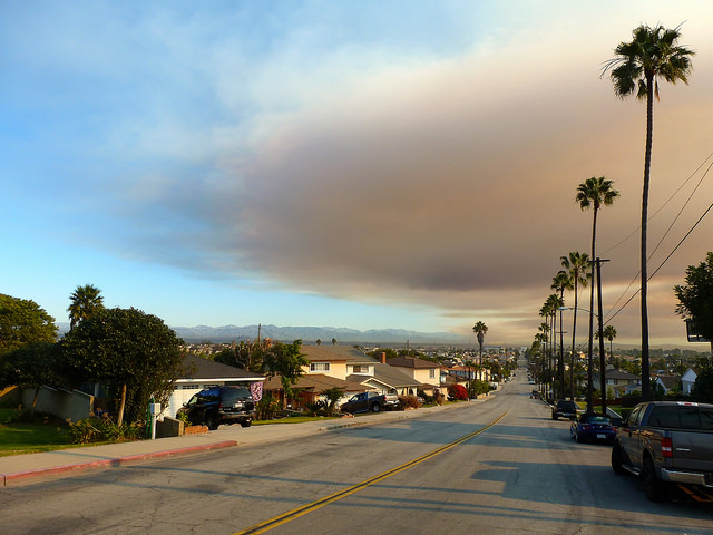
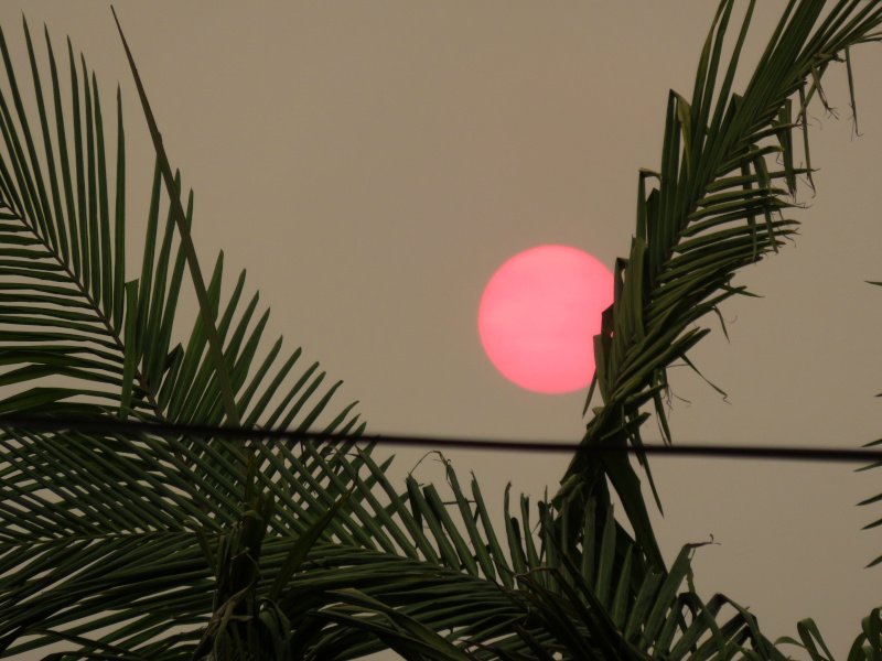
A deep orange sun against a brownish gray sky, palm fronds and power lines in the foreground.

We’ve had some ash fall over the past week, but for the most part, the air quality at ground level has only been awful, not unbearable. Especially since the heat wave subsided.

But the light has just been wrong. Normal clouds in the morning breaking up to reveal a layer of smoke behind them, letting through yellow-orange, almost but not quite late afternoon light at midday. I went out for a walk after work, once it had cooled down and saw this.

drifting-smoke-sand-fire

A few views of the smoke plume from the Sand Fire burning near Santa Clarita (in the mountains north of Los Angeles), seen from a distance. The fire broke out on Friday, just a few days after the smoke from the recent fires on the San Gabriels finally cleared out and I was able to see the mountains again.

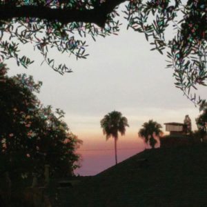
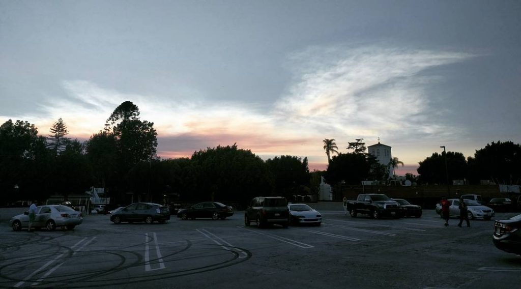
On Saturday, the smoke plume was drifting southward, turning the sunlight yellow and orange in coastal areas. We headed inland that day and managed to escape the worst of it, though I was still wheezing by the time I got home. The views above and below to the left show the smoke cloud near sunset on Saturday evening, seen from the side. Unfortunately my phone went a little overboard with some of the color enhancements and digital zoom. My new phone’s camera is better than the old one, but I’m really going to have to do something about fixing or replacing the dedicated camera.

smoke-and-palm-tree sand-fire-smoke-plume

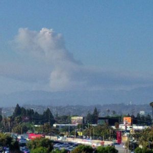
Monday I could see two distinct plumes of smoke rising behind the Santa Monica Mountains to the north. By late afternoon, the western plume had faded into the haze while the eastern one was still clearly visible. I took the photo at upper right from the LAX area around 6pm as I was leaving work.

This morning I could see a wall of gray cloud off to the west. It took me a few moments to be sure, but the edges and movement looked more like fog than smoke, so I figure it was the marine layer, keeping the sun off the beaches for the morning.

The sky is just plain hazy today, with no distinct smoke clouds visible from LA. (Firefighters have made some progress containing it.) Of course the smoke is settling out over the whole area…. As much as I like walking to lunch, I think I’m going to stick somewhere close by.

My first hint that something was wrong this morning was the extremely yellow sunlight coming in around the blinds as I got ready for breakfast, the color you expect right at sunrise or sunset, not after the sun’s already up. Once I walked outside it was clear there was a fire somewhere in the area, and as I walked around the building I could see smoke filling half the sky.
It only filled half the sky, though. The smoke rose from the fire near Glendora, at the base of the San Gabriel Mountains northeast of Los Angeles, and drifted south to Orange County before winds blew it west across Long Beach, San Pedro, and the Palos Verdes peninsula.

Off to the west of the plume, the skies remained clear. Clearer than usual, in fact, because high winds had blown all the smog out to sea over the last few days. To the north and west, the sky was a gorgeous blue, the mountains and distant city skyline crystal clear. (If you view the larger image on Flickr, you can spot downtown LA right next to the first telephone pole on the left.) Smoke in the southeast turned the sun orange, bathing the area in light more suited to the golden hour.
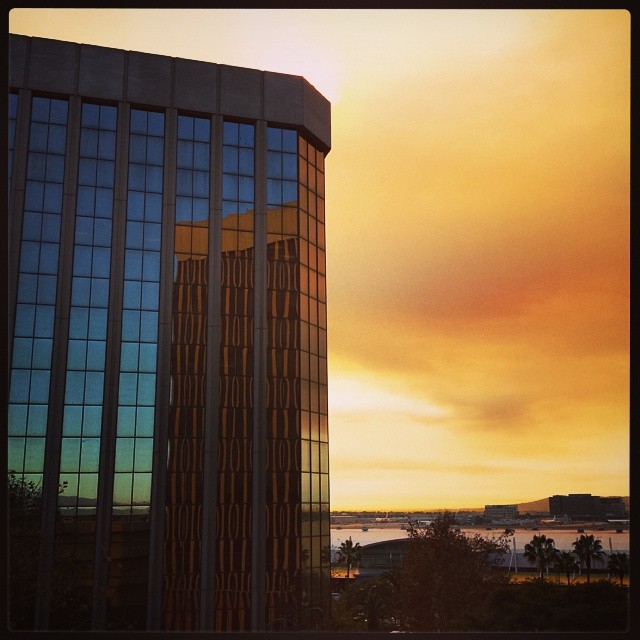
A few miles north and a bit later, this view looking south shows the clear blue northwestern sky reflected in the building, the smoky southern sky behind it, and another building lit orange by the smoky sunlight.
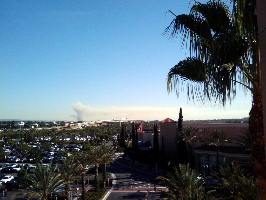
Smoke from a brush fire near San Juan Capistrano, seen from the parking structure at the Irvine Spectrum. I wouldn’t have caught this if I hadn’t checked Twitter when I sat down to lunch and seen an update from @LATimesfires. (As it is, I still had to make do with the camera on my phone.)

The picture was taken around 1:30. It’s about 3:30 now, and I don’t see a plume anymore (though it could be behind a building) — just a smear of haze to the south and west.

According to the LA Times, the fire started when a tractor crashed into a power pole this morning.

Smoke Cuts San Gabriel Mountains in Two.

The wind’s changed, the weather’s cooled off, and firefighters are starting to get the Station Fire under control. For the first time in days, we’ve been able to see the San Gabriel Mountains.

The eastern part of the range was clearly visible this afternoon — more visible than it usually is during the summer, with LA’s famous smog. The middle was completely shrouded in smoke. Interestingly, while it looks like the plume is being blown east, visibility seems to be worse toward the western end. Maybe wind near the ground is blowing west, and wind higher up is blowing east?

Compare to this shot of the mountains covered in snow last December:

San Gabriel Snow Panorama

  • Mt Wilson still intact for now! Status, Towercam.
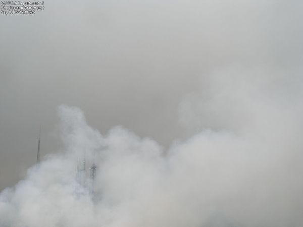
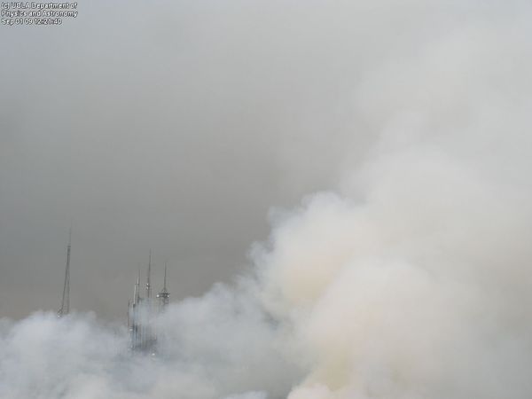
  • Image from Mt. Wilson Observatory Towercam at 12:06 pm. Observatory website still up, but towercam very slow.towercam-smoke-1206
  • Mt. Wilson Towercam showing lots of smoke: 12:21 was the last image I could get.towercam-smoke-1221
  • Definitely cooler today, but humidity & smoke since the wind changed make it feel worse outside.
  • Mt. Wilson good news: smoke on towercam was from backfires. Bad: website offline, cam not updating. Status on backup server.
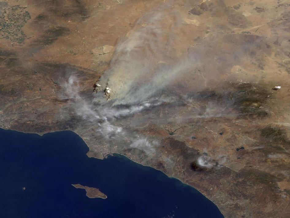
  • Los Angeles Fires Seen From Space (from @ecolady via @ThisIsTrue)la-fires-from-space

Images from the Mt. Wilson Observatory Towercam & NASA. You can probably figure out which is which.